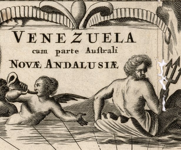
“Venezuela with the Southern Part of New Andalusia” is a map of Venezuela from the 17th century. This map was published by the Flemish Cartographer, map and globemaker, Henricus Hondius in 1606.
Analyzing a map can reveal the significant economic and cultural and geographical points of the area during the time it was created. In addition to these, the map may also reveal the map maker’s personal views of what is important. This map helps give geographical context to Venezuela. Large swaths of plains are mapped in between mountain ranges. This geography can help to clue in what the main exports and economic powers of Venezuela as a colony were. Livestock farming in flatlands and mining in the mountains. In the flatlands, there are small drawings of livestock and animals. The coastline also shows the large cities of Venezuela. As a colony, strong shipping routes were critical for maintaining Venezuela’s viability. In the water, there are drawings of large trading ships.
This map fits into the colonial crucible period as it shows Venezuela as a colony and its economic outputs. Flourishes at the edges of the map also show representations of colonizers and indigenous peoples. At the top of the map, a Spanish looking conquistador stands with angles and gods. This shows the world view of the divine right of the Spanish to conquer these lands. In the bottom right it shows indigenous people taking care of livestock. This shows the role of the indigenous people as labor for the colony.
Works Cited
Henricus Hondius. “Venezuela with the Southern Part of New Andalusia”. 1606. “World Digital Library”. Last updated: September 18, 2015. <https://www.wdl.org/en/item/11337/#regions=latin-america-and-the-caribbean&countries=VE>(2/4/2021).

This work is licensed under a Creative Commons Attribution-NonCommercial-ShareAlike 4.0 International License.